

.png)
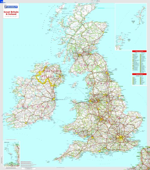
Great Britain and Ireland (encapsulated)
Auteur(s)
Editeur
Michelin UKRayon
Livres pratiques / Tourisme / Cartes géographiques
£16.99
En stock (expédié sous 48h)


EAN : 9782067106529
Résumé :
Résumé :
This Great Britain and Ireland wall map will give an overview of British and Irish cities, administrative boundaries, as well as primary and secondary road networks at a glance. This laminated map, suitable to use with marker pens, is presented on a scale 1/1,000,000 and measures 100 x 88 cm.
Date de parution : 06/09/2016EAN : 9782067106529
Langue : Français
Format H : 100cm
Format L : 88cm
Poids : 250 g
Nombre de pages : 1
Langue : Français
Format H : 100cm
Format L : 88cm
Poids : 250 g
Nombre de pages : 1
Vous aimerez aussi
Iles - une collection de 20 cartes merveilleuses (detachables)
£29.40


